
Eyam Moor
Dark Peak, Grindleford
The types and quantities of habitat units on site are yet to be confirmed but are likely to include upland heathland, acid grassland and woodland units. We hope to have units available in early 2027.
Get an initial price for your development in seconds
Get a BNG quoteAt a glance
- Coming soon
- Medium
Habitat types
- Mixed Scrub
- Other Neutral Grassland
- Heathland and Shrub
- Woodland and Forest
Take a look around


Image 1/3
Coming soon Eyam Moor
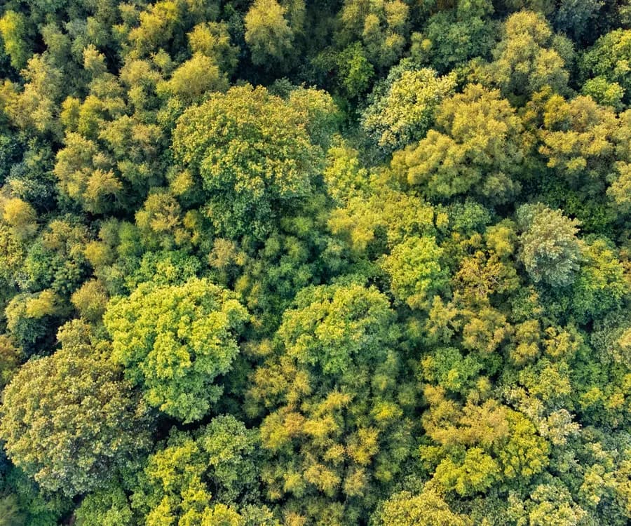
Located in the Dark Peak, west of Grindleford this 241Ha site is composed of a mosaic of habitats, dominated by upland heath. Other habitats include mixed deciduous woodland, upland flushes and fen, and acid grassland. The site includes a small area of the Abney & Bretton Cloughs SSSI.
The site has historically been grazed by sheep and cattle.
The site is in the Peak District National Park Authority LPA and the Dark Peak NCA.
The habitat delivery at Eyam Moor will be secured with a Conservation Covenant with RSK Wilding acting as the Responsible Body.
Location
Sir William Hill Road,Eyam,Derbyshire,S32 1BA
OS Map Reference
SK22378 78907
What3Words
Geographic eligibility
Is this habitat bank suitable for my development? Eligibility depends on the relationship between your development location and this habitat bank, including relevant geographic and planning considerations.